Sunday Hike, Gordon Hill Enfield - Goffs Oak - Whitewebbs Park circular, 9.25 ml
by shh-admin
Take a train or TfL bus to Gordon Hill Railway Station and join us for a scenic 9.25 mile (14.85 km) hike to explore this Enfield - Goffs Oak - Whitewebbs Park circular route. Discover green belt countryside in the London Borough of Enfield and out into Hertfordshire. This in-person event is perfect for nature lovers and hiking enthusiasts to enjoy a day of fresh air and exercise outdoors in the countryside just outside London. If you don’t fancy 9.25 miles there is an option to cut it to 5.6 mls by finishing at lunch time and taking a train.
HOW TO SIGN UP
We limit numbers on our walks and they are sometimes fully booked so to be sure of a place, it is advisable to sign up on Meetup or Eventbrite.
If you have a Meetup login, you can join our Meetup group and sign up for this event. https://www.meetup.com/southhertshikers/events/308257456/
Alternatively, you can get a free ticket on Eventbrite
https://www.eventbrite.co.uk/e/sunday-hike-gordon-hill-enfield-goffs-oak-whitewebbs-park-circular-925ml-tickets-1395375318139
Although it is free to sign up on Meetup or Eventbrite, we do have a monthly membership charge, see below.
WHERE TO MEET
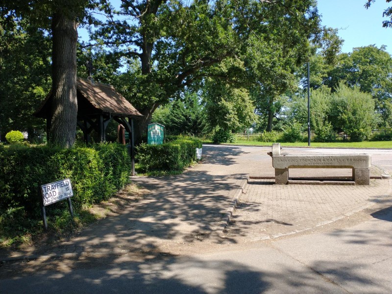
Meet 10:30 for a 10:45 start. Hike starts and ends outside Gordon Hill Rail station, Lavender Hill, Enfield, EN2 0QU. Meet outside the main entrance to the station. Look for our South Herts Hikers sign.
Nearest post code: EN2 0QU
Lat/Long (WGS84): 51.663831,-0.094257
OSGB National Grid Ref. TQ319978
HIKE DESCRIPTION:
Gordon Hill Station - Clay Hill - Crews Hill - Goff’s Oak - Whitewebbs Park - Clay Hill - Gordon Hill Station. Most of the route is on roads with pavement, stony tracks or public footpaths which may be muddy in places. Total distance is 9.25 miles (14.85 km) with slight hills. If you like, you can cut the total distance to 5.6 mls (9 km) by finishing the walk at lunch time, walking 1 mile along a road with pavement to Cuffley Station or take bus 242 at 13:26 then take a train back to Gordon Hill.
PLACES OF INTEREST:
Goffs Oak pub https://www.thegoffsoak.co.uk/
HIKING MAP:
Ordnance Survey ‘Explorer’ 1:25,000 scale, Sheet 174, Epping Forest & Lee Valley.
ONLINE MAP:
This route was devised by South Herts Hikers. There is a static map in the photo album for this event and we have also uploaded it to Wikiloc: Gordon Hill - Goff’s Oak Loop v3 https://www.wikiloc.com/hiking-trails/gordon-hill-goffs-oak-loop-v3-78772439
You can select map or aerial view (OpenStreetmap recommended) and you can zoom in. Navigating the trail outdoors using the Wikiloc app needs the premium version but you can also set up a free Wikiloc login then download a .GPX or .kml file to a mobile device to use with a GPS app such as OSMand, Komoot, All Trails, Outdoor Active, Organic Maps or Google Maps.
PUBLIC TRANSPORT TO MEETING LOCATION:
Train from London Moorgate 09:42 calling at Old Street, Essex Road, Highbury & Islington, Drayton Park, Finsbury Park, Harringay, Hornsey, Alexandra Palace, Bowes Park, Palmers Green, Winchmore Hill, Grange Park, Enfield Chase, to Gordon Hill Station (GDH) at 10:19
By bus, TfL Oyster Card or contactless card/device required. See TfL Journey Planner https://tfl.gov.uk/plan-a-journey/
- Bus TfL route W8 from Picketts Lock Centre, Edmonton Green, Bush Hill Park, Enfield Town to Gordon Hill Rail Station
- Bus TfL route 307 from Barnet to Enfield Chase station then take 10:17 train to Gordon Hill Rail Station.
- Bus TfL route 307 from Barnet to Enfield Town station then take TfL bus W8 to Gordon Hill Rail Station.
- Bus TFL route 307 from Brimsdown Station or Southbury Station to Enfield Town station then take TfL bus W8 to Gordon Hill Rail Station.
- Bus TfL route 313 from Potters Bar Rail Station 09:56 to Chase Farm Hospital / The Ridgeway then take TfL bus W8 from Stop B to Gordon Hill Rail Station
CAR PARKING NEAR MEETING LOCATION:
Gordon Hill Station Car Park, £3.30 Sundays, Apcoa Parking. You can pre-book in advance and pay on-line at https://www.apcoa.co.uk/parking-in/gordon-hill/ so you don’t need an app. Alternatively, it may be possible to park in nearby streets on a Sunday (please park considerately).
WHAT TO BRING
Much of the route is on public footpaths in the countryside. Some of these may be slippery, muddy or stony in places. We recommend:
-
adequate footwear, preferably hiking boots, with thick soles and good grip
-
waterproof jacket or umbrella for rain
-
sun hat if sunny
-
drink essential (1 - 2 litres)
-
packed lunch recommended.
IMPORTANT TO KNOW
Mid-morning ‘elevenses’ stop 3.6 km from the start. Lunch stop 6.5 km from the start at Goff’s Oak which has a pub. There are also seats by the road where you can eat your packed lunch outdoors. Before going into the pub, please be prepared to take your boots off if they are muddy. There will be a mid-afternoon stop about 11.1 km from the start.
Although this event is shown on Eventbrite as free, from 1st Jan 2025, this group has introduced a monthly membership subscription of £4 per month. You only pay for months when you actually attend an event. Anyone who attends an event needs to be a member of South Herts Hikers, including guests and your membership subscription lasts for one month from the date when you pay. During that time you can attend any other Group events with no extra charge. There will normally be at least one more event in the 31 days after you join, possibly more. This subscription contributes towards the costs of running our Meetup Group including the fees that organisers need to pay Meetup which increased by 80% from July 2024. You can use cash or Paypal https://paypal.me/SouthHertsHikers
Please note our membership criteria and guidelines. From this Meetup Group’s home page https://www.meetup.com/southhertshikers/ see What we’re about > Read More
For our policy on dogs on our hikes, please see our FAQ page, http://southhertshikers.uk/faq/
Subscribe via RSS